
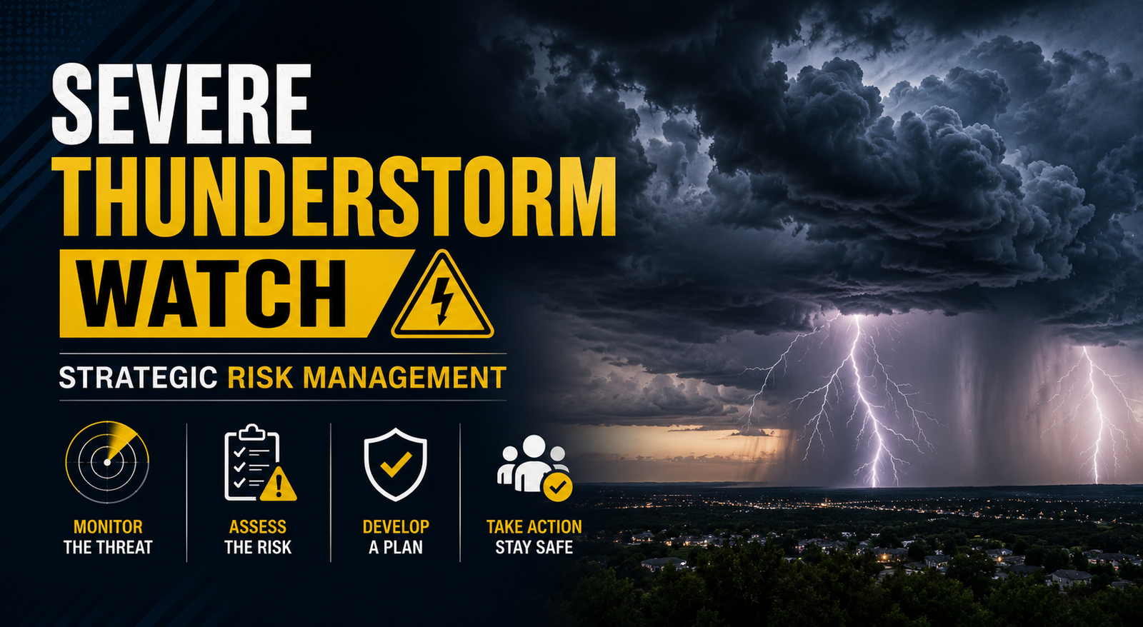
💡 Severe Thunderstorm Watch: Strategic Risk Management
An authoritative analysis of severe thunderstorm watches, meteorological criteria, and strategic preparedness protocols for public safety.
Executive Summary
A severe thunderstorm watch is a critical meteorological tool used by the Storm Prediction Center to signal that atmospheric conditions are favorable for the development of hazardous weather. This analysis highlights that approximately 10 percent of the 100,000 thunderstorms occurring annually in the United States reach severe status. In 2023 alone, convective storms accounted for over 60 billion dollars in insured losses, underscoring the necessity of strategic preparedness. Key findings indicate that while a watch covers a broad geographic area and a multi-hour window, its effectiveness relies heavily on public understanding of the distinction between a watch and a warning.
Introduction
Meteorological vigilance is a cornerstone of modern public safety. A severe thunderstorm watch serves as the first line of defense in the complex hierarchy of weather alerts. Unlike immediate warnings, a watch is a proactive strategic assessment issued when the environment exhibits the necessary instability, moisture, and lift to produce damaging winds or large hail. Understanding the nuances of these alerts is essential for corporate risk management, public policy execution, and individual safety planning. Just as experts analyze Chennai Weather: A Strategic Analysis of Climate Patterns to understand regional shifts, global observers must recognize the systemic importance of severe weather monitoring in maintaining economic and social stability.

THE DEEP DIVE: Meteorological Criteria and Economic Implications
The issuance of a severe thunderstorm watch is governed by strict scientific parameters established by the National Oceanic and Atmospheric Administration (NOAA). A storm is classified as severe if it produces wind gusts of at least 58 miles per hour (50 knots) or hail at least one inch in diameter. The Storm Prediction Center (SPC) in Norman, Oklahoma, monitors these conditions using high-resolution rapid refresh models and satellite data.
The strategic deployment of a watch typically involves a large geographic area, often spanning multiple counties or states, and remains in effect for four to eight hours. This provides a window for emergency management teams to activate protocols. The importance of these alerts is reflected in public policy frameworks, similar to the structures discussed in the West Bengal Public Policy: A Strategic Economic Analysis, where proactive governance mitigates disaster-related costs.
The Economic Toll of Convective Storms
Data from the insurance industry reveals a significant upward trend in the financial impact of severe thunderstorms. Severe convective storms (SCS) are now the primary driver of secondary peril losses globally. In the United States, the frequency of billion dollar weather and climate disasters has increased from an average of 8.5 events per year (1980 to 2023) to 20.4 events per year in the last five years. These statistics emphasize that a severe thunderstorm watch is not merely a weather update but a vital economic indicator for sectors such as agriculture, logistics, and construction.
- Wind Damage: Responsible for the majority of structural insurance claims during a watch period.
- Hail Impact: Causes billions in damage to vehicles and crops annually.
- Lightning Risk: While not a primary criterion for a severe watch, it remains a major cause of weather-related fatalities.

Strategic Forecasting and Communication
Forecasters utilize a combination of Doppler radar, weather balloons, and automated surface observing systems to determine when to issue a watch. The process begins with a Convective Outlook, followed by a Mesoscale Discussion, and finally the issuance of the watch itself. This tiered approach allows for a logical progression of readiness. For individuals balancing Modern Leisure & Work-Life Integration, these alerts provide the necessary lead time to adjust outdoor activities and secure property before the threat becomes imminent.
WHAT THIS MEANS FOR YOU: Actionable Breakdown
When a severe thunderstorm watch is issued for your area, the primary objective is situational awareness. It is a signal to remain vigilant rather than to take immediate cover. Follow these strategic steps to ensure safety:
- Monitor Reliable Sources: Use a NOAA Weather Radio or a trusted weather application for real-time updates.
- Review Emergency Plans: Ensure all family members or employees know where the designated safe rooms are located.
- Secure Outdoor Assets: Move patio furniture, trash bins, and light equipment indoors to prevent wind-borne debris damage.
- Check Supplies: Ensure flashlights, batteries, and first-aid kits are accessible in case of power outages.
- Stay Informed of Warnings: Be prepared to act immediately if the watch is upgraded to a severe thunderstorm warning.
Expert Verdict / Future Outlook
The future of severe weather monitoring lies in the integration of artificial intelligence and machine learning into predictive modeling. Experts predict that lead times for severe thunderstorm watches will improve as high-resolution models become more adept at predicting discrete cell development. However, the human element remains paramount. The ability of professional meteorologists to interpret complex data and communicate risk effectively is the most critical component of the warning chain. We expect to see a greater emphasis on social science in weather communication to ensure that alerts drive the appropriate public response.

FAQ: Authoritative Questions and Answers
What is the difference between a watch and a warning?
A severe thunderstorm watch means that conditions are favorable for severe weather to develop; you should be prepared. A severe thunderstorm warning means that severe weather is occurring or is imminent in the warned area; you should take cover immediately.
How long does a severe thunderstorm watch usually last?
A watch typically lasts between four and eight hours, though it can be canceled early if the threat diminishes or extended if the atmospheric instability persists.
Does a severe thunderstorm watch include a tornado threat?
While the primary threats of a severe thunderstorm watch are wind and hail, some severe storms can produce tornadoes. If the risk of tornadoes is significant, the SPC will issue a Tornado Watch instead.
What criteria must be met for a storm to be considered severe?
A storm is severe if it produces hail of one inch in diameter (the size of a quarter) or larger, or wind gusts of 58 miles per hour or greater.
Can a severe thunderstorm watch be issued at night?
Yes, severe thunderstorms can occur at any time. Nocturnal storms are particularly dangerous because they are harder to see, making it essential to have a way to receive alerts while sleeping, such as a weather radio with an alarm feature.
Conclusion
A severe thunderstorm watch is a sophisticated risk management tool that bridges the gap between general forecasts and emergency action. By understanding the meteorological data and economic impacts associated with these alerts, stakeholders can make informed decisions that protect lives and assets. The strategic takeaway is clear: vigilance during a watch period is the most effective way to mitigate the unpredictable nature of severe convective weather.


Comments 0
Leave a Reply
Your email address will not be published. Required fields are marked *
Be the first to share your thoughts!