
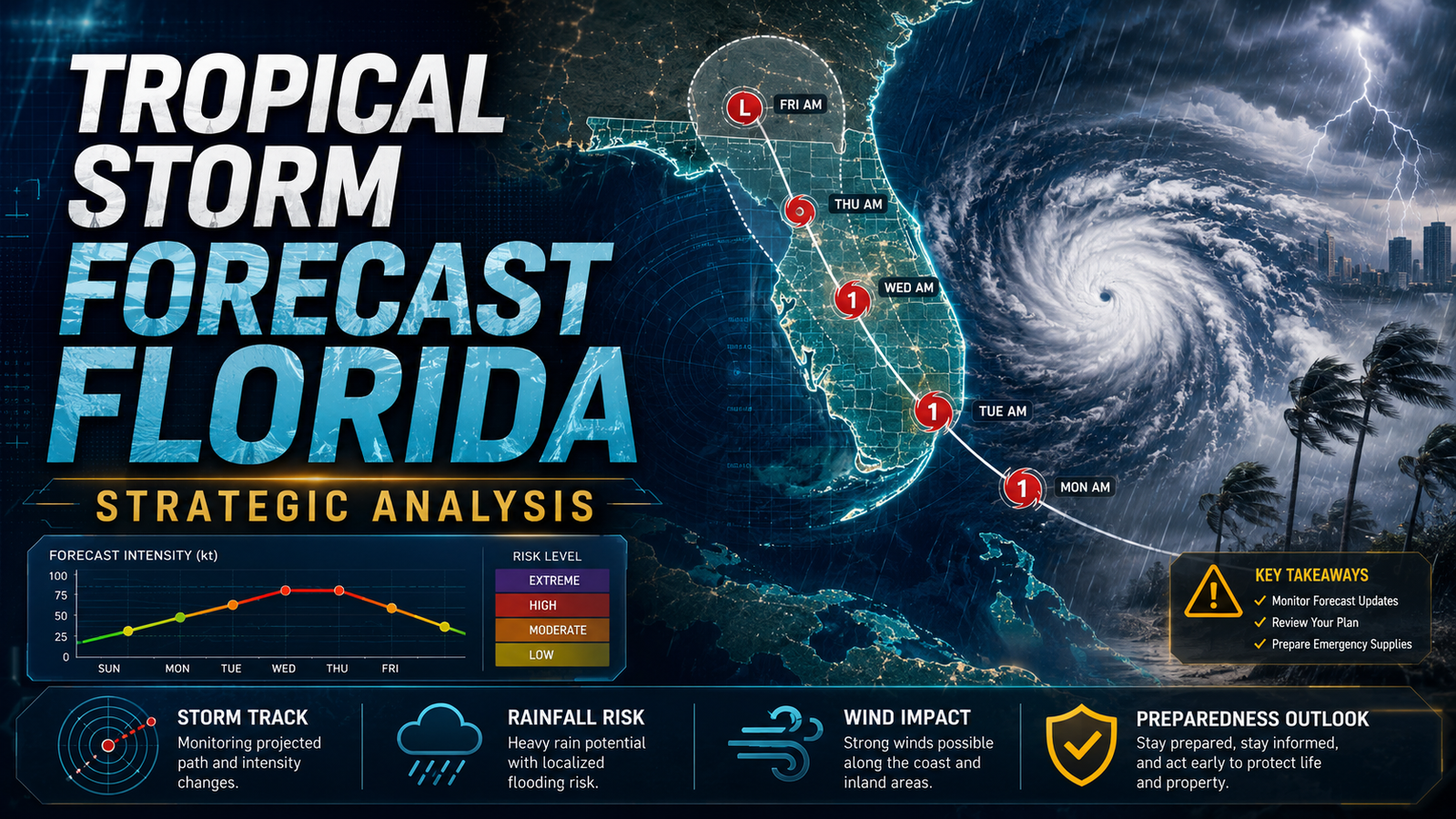
💡 Tropical Storm Forecast Florida: Strategic Analysis
An authoritative analysis of Florida's tropical storm forecasts, examining meteorological data, economic impacts, and strategic preparedness for the upcoming season.
Executive Summary
The tropical storm forecast for Florida indicates a period of heightened atmospheric activity driven by record-breaking sea surface temperatures and the transition to La Niña conditions. According to the National Oceanic and Atmospheric Administration (NOAA), there is an 85 percent probability of an above-normal hurricane season. Data suggests a range of 17 to 25 named storms, with 8 to 13 reaching hurricane strength and 4 to 7 becoming major hurricanes (Category 3 or higher). This strategic analysis explores the meteorological drivers, the economic implications for Florida residents, and the technological advancements in tracking systems that define modern disaster management.
Introduction: The Strategic Landscape of Florida Weather
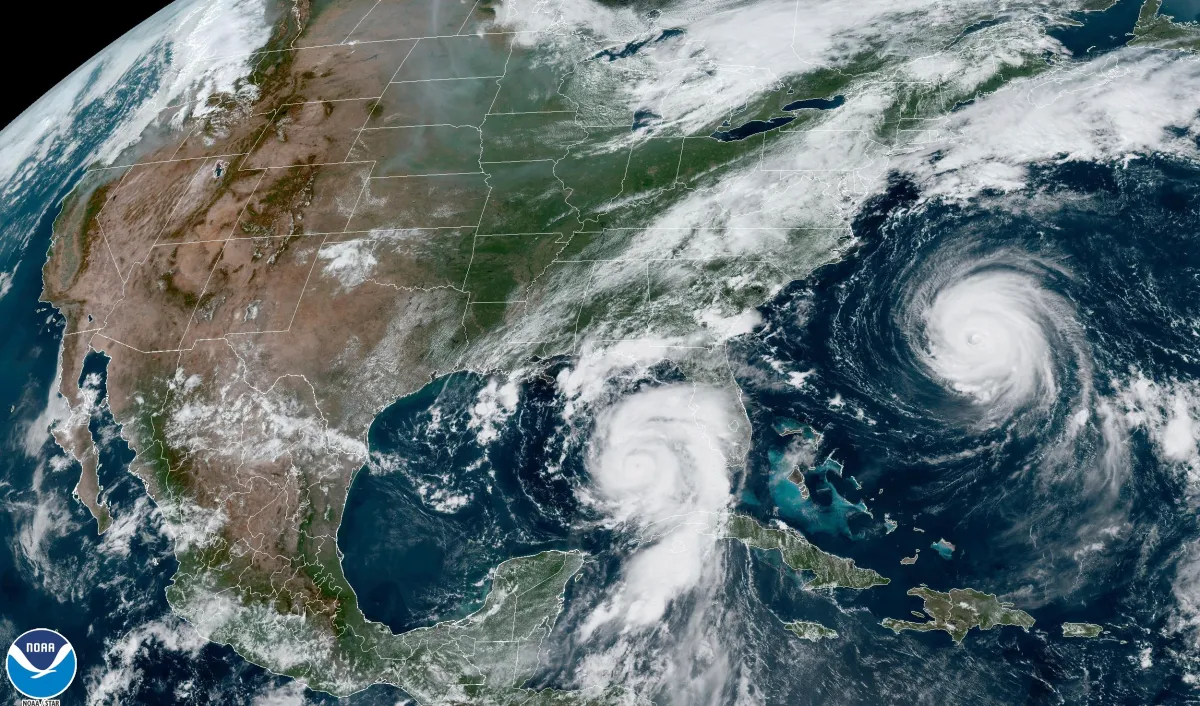
Florida remains the most vulnerable state in the United States regarding tropical cyclones, boasting over 1,350 miles of coastline and a population exceeding 22 million people. Understanding the tropical storm forecast for Florida is not merely a matter of convenience; it is a critical component of state-wide economic and physical security. Historically, Florida accounts for approximately 40 percent of all U.S. hurricane landfalls. As we look toward the 2025 cycle, the convergence of thermal energy in the Atlantic and shifting global wind patterns creates a complex risk profile for the peninsula. This analysis integrates historical data with current atmospheric modeling to provide an authoritative outlook on what the state can expect.
The Deep Dive: Meteorological Drivers and Data Points
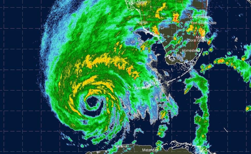
The primary catalyst for the current tropical storm forecast for Florida is the extraordinary heat content in the North Atlantic Ocean. Sea surface temperatures in the Main Development Region (MDR) have consistently tracked 1.5 to 2 degrees Celsius above the 1991-2020 average. This thermal energy acts as high-octane fuel for developing disturbances. Furthermore, the dissipation of El Niño and the emergence of La Niña conditions significantly reduce vertical wind shear. Low wind shear allows tropical chimneys to remain upright and intensify rapidly, a phenomenon observed in recent devastating storms like Hurricane Ian and Hurricane Idalia.
Statistical modeling from Colorado State University (CSU) indicates that the probability of a major hurricane tracking within 50 miles of the Florida coastline has increased by 12 percent compared to the 50-year historical mean. These projections are supported by the integrated use of next-gen tech in satellite reconnaissance, which now allows for sub-kilometer resolution of storm eye-walls. The strategic importance of these forecasts extends to the energy sector, where Florida's reliance on stable power grids mirrors the challenges discussed in our strategic analysis of global energy and infrastructure.
Economic and Infrastructure Resilience
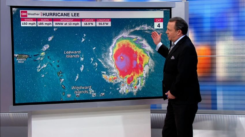
The financial implications of a tropical storm forecast for Florida are staggering. The state's insurance market has faced significant volatility, with premiums rising by an average of 42 percent over the last three years. Strategic planning at the municipal level now incorporates higher building standards and the fortification of sea walls. Community stability depends on these proactive measures, much like the frameworks seen in strategic analysis of community resilience models. Data from the Florida Division of Emergency Management suggests that for every 1 dollar spent on mitigation, the state saves approximately 6 dollars in post-disaster recovery costs.
- Flood Zone Reclassification: Over 30 percent of Florida properties have been moved into higher-risk categories in the latest FEMA maps.
- Power Grid Hardening: Utility companies have invested over 4 billion dollars in undergrounding lines and installing smart-grid technology to reduce outage durations.
- Supply Chain Logistics: Strategic stockpiling of fuel and medical supplies now begins 72 hours prior to the projected arrival of tropical-storm-force winds.
What This Means for You: Actionable Breakdown
For residents and business owners, the tropical storm forecast for Florida should trigger a specific set of operational protocols. Readiness is defined by the 5P Rule: Plan, Property, Paperwork, Power, and Provisions. Ensure that your evacuation zone is confirmed via the Florida Disaster website, as zones can change based on new topographical data. Review your homeowners insurance policy specifically for the hurricane deductible, which is often a percentage of the home value rather than a flat fee. Strategically, maintaining a 14-day supply of non-perishable goods and 1 gallon of water per person per day is the current expert consensus for self-sufficiency during the immediate aftermath of a landfalling storm.
Expert Verdict and Future Outlook
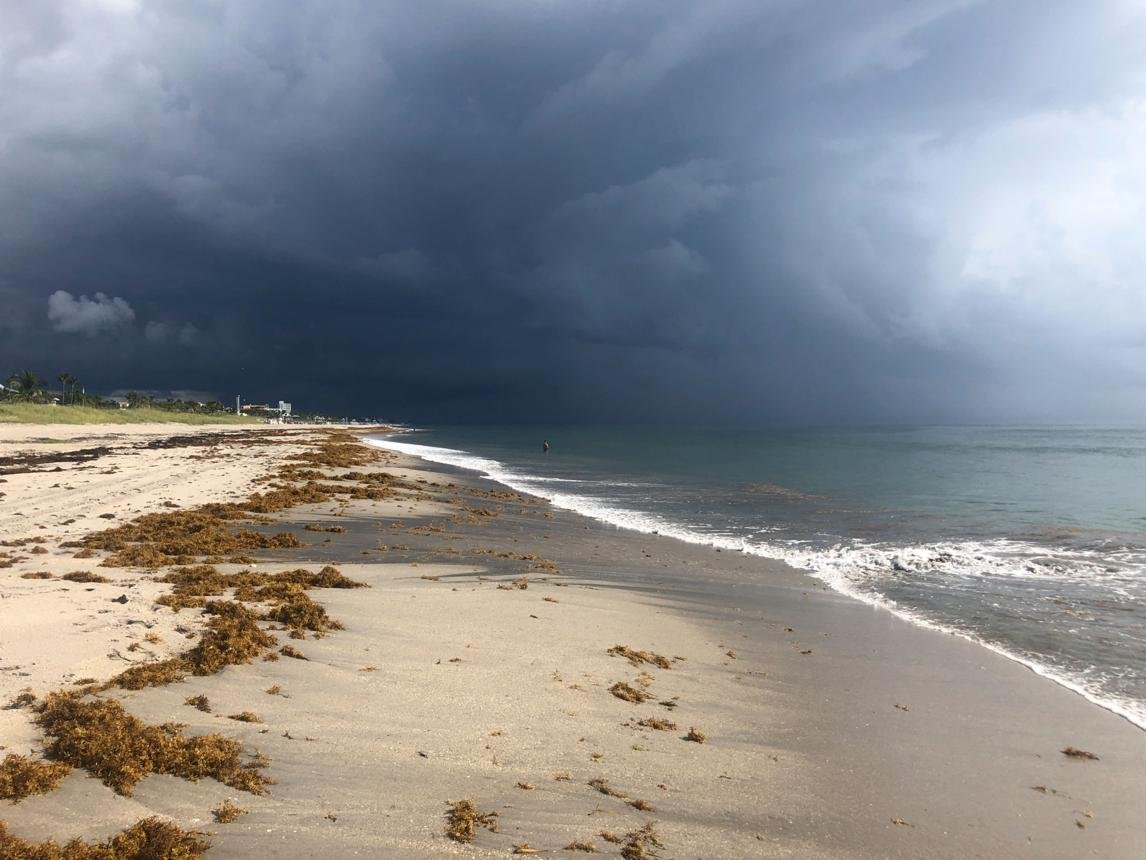
The long-term trajectory for Florida involves a shift toward more frequent rapid intensification events. While the total number of storms may not increase significantly over decades, the proportion of storms reaching Category 4 or 5 is projected to rise. The strategic takeaway is that seasonal forecasts are becoming more accurate in terms of track, but intensity forecasting remains the final frontier of meteorological science. Florida must continue to pivot toward a culture of permanent readiness rather than reactive panic. The integration of AI-driven flood modeling and real-time storm surge sensors will be the standard for the 2025-2030 period.
Frequently Asked Questions
When is the peak of the Florida hurricane season?
While the season runs from June 1 to November 30, the statistical peak occurs on September 10. Approximately 60 percent of all tropical activity in Florida is recorded between mid-August and late September.
How accurate are the 5-day forecast cones?
The National Hurricane Center has reduced track error by nearly 50 percent over the last two decades. However, the cone only represents where the center of the storm might go, not the extent of the impacts like rain or wind.
What is the difference between a Tropical Storm Watch and a Warning?
A watch means tropical storm conditions are possible within 48 hours. A warning means those conditions are expected within 36 hours. Actions to protect life and property should be completed when a warning is issued.
Does a La Niña year always mean more storms for Florida?
While La Niña historically correlates with higher activity due to lower wind shear, other factors like the Saharan Air Layer (SAL) can suppress storm formation even in favorable conditions.
What is the most dangerous part of a tropical storm in Florida?
Statistically, storm surge and inland flooding cause more fatalities and property damage than wind. Even a weak tropical storm can produce life-threatening flooding if it moves slowly over the Florida peninsula.
Conclusion
The tropical storm forecast for Florida serves as a vital blueprint for state-wide preparedness and economic risk management. By leveraging high-resolution data and understanding the atmospheric drivers like sea surface temperatures and wind shear, stakeholders can move from a position of vulnerability to one of strategic resilience. The upcoming season demands heightened vigilance, but with the right technological tools and community-level planning, the impact of these natural phenomena can be significantly mitigated. Success lies in the transition from seasonal awareness to a perpetual state of readiness.




Comments 0
Leave a Reply
Your email address will not be published. Required fields are marked *
Be the first to share your thoughts!