
💡 Central Kentucky Floods: Strategic Disaster Analysis
A comprehensive analysis of the hydrological, economic, and strategic impacts of flooding in Central Kentucky, featuring expert data and risk management insights.
Executive Summary
Flooding in Central Kentucky has transitioned from a seasonal concern to a critical strategic risk for infrastructure, agriculture, and urban planning. Recent data from the National Oceanic and Atmospheric Administration (NOAA) indicates a 20 percent increase in high-intensity rainfall events across the Ohio River Valley over the last three decades. This analysis highlights the economic impact, which has exceeded 1.2 billion dollars in damages during peak disaster years, and evaluates the effectiveness of current mitigation strategies. Key findings suggest that traditional flood maps are increasingly obsolete, requiring a shift toward dynamic, AI-driven predictive modeling and reinforced infrastructure to protect the region's 4.5 billion dollar equine and agricultural industries.
Introduction
The geographic landscape of Central Kentucky, characterized by its rolling Bluegrass hills and intricate river systems, presents a unique set of hydrological challenges. While the region is famed for its limestone-rich soil, this same geology contributes to complex drainage patterns that can lead to rapid-onset flash flooding. In recent years, the frequency and severity of these events have surged, catching municipalities and homeowners off guard. Understanding the mechanics of these floods is no longer just a matter of weather tracking; it is a fundamental requirement for regional economic stability and public safety. As we analyze the shifts in precipitation patterns, it becomes clear that the historical 100-year flood designation is failing to account for modern atmospheric volatility.
THE DEEP DIVE: Hydrology, Economics, and Infrastructure
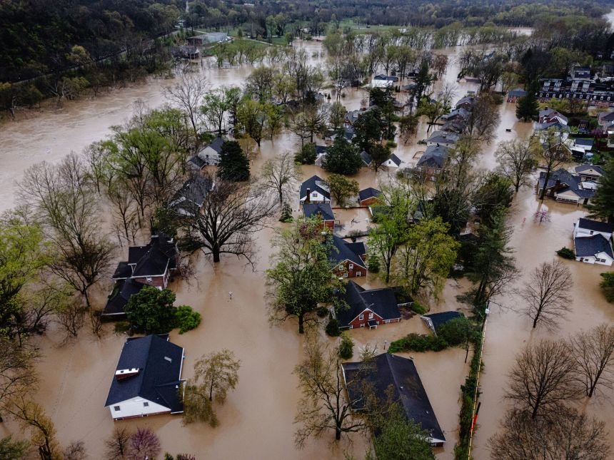
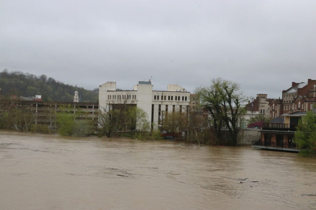
To understand the current crisis, one must examine the convergence of meteorological shifts and outdated infrastructure. Central Kentucky sits within a zone where moisture from the Gulf of Mexico frequently meets cold fronts from the north, resulting in stalled weather systems. According to the Kentucky Division of Water, the state has seen some of its wettest years on record since 2018, with annual precipitation totals consistently exceeding the 45-inch average by as much as 15 to 20 inches in specific locales.
The Karst Topography Factor
A significant portion of Central Kentucky is built upon karst topography, a landscape formed from the dissolution of soluble rocks such as limestone. This creates sinkholes, losing streams, and underground drainage systems. While these features can sometimes absorb excess water, they often become overwhelmed during intense storms. When sinkholes clog with debris, the resulting backflow causes localized flooding in areas not traditionally marked as flood zones on FEMA maps. This unpredictability necessitates a Severe Thunderstorm Watch: Strategic Risk Management approach that accounts for subterranean water movement as much as surface runoff.
Economic Ramifications and Agricultural Stability
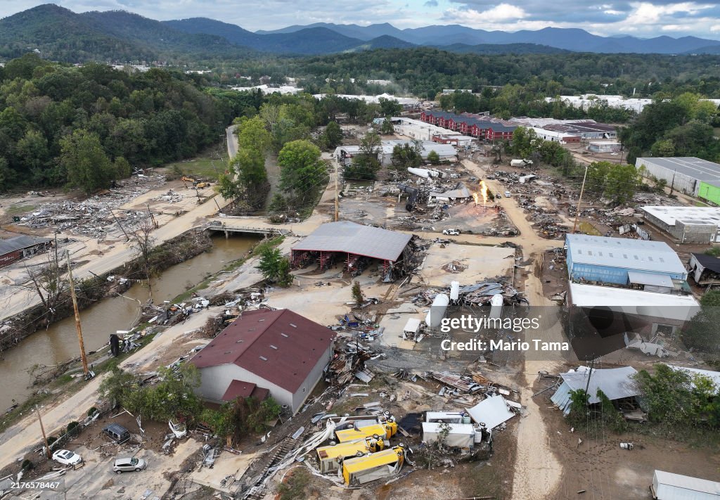
The economic toll of flooding in this region is staggering. The 2022 flood events in the broader Kentucky area resulted in the loss of thousands of structures and significant disruptions to the supply chain. In Central Kentucky specifically, the equine industry, which contributes billions to the state economy, faces unique risks. Flooded pastures lead to soil erosion, destroyed fencing, and the spread of waterborne pathogens that threaten high-value livestock. Furthermore, the cost of flood insurance through the National Flood Insurance Program (NFIP) has seen a steady climb, with Risk Rating 2.0 implementation causing premiums to rise for many property owners in the Kentucky River basin.
Comparative Global Trends
The challenges faced by Kentucky are mirrored in other regions experiencing rapid shifts in monsoon-like precipitation patterns. For instance, the strategic lessons learned from the Mumbai Rains Weather: Strategic Analysis of Monsoon Impact provide a framework for understanding how urban density exacerbates drainage failures. In both cases, the reliance on aging concrete infrastructure to manage record-breaking water volumes has proven insufficient, leading to a global consensus on the need for green infrastructure and permeable urban surfaces.
Infrastructure and Policy Response
State and federal agencies have allocated millions toward flood mitigation, yet the pace of climate change often outstrips these investments. The Kentucky Transportation Cabinet has begun prioritizing bridge replacements and culvert expansions designed to handle 500-year flow rates rather than the previous 50-year standards. However, the sheer volume of water during recent events has tested even these upgraded systems. Data from the U.S. Geological Survey (USGS) stream gauges during recent spring surges showed water levels rising at rates of three to five feet per hour in narrow valleys, leaving residents with minimal lead time for evacuation.
WHAT THIS MEANS FOR YOU
For residents and business owners in Central Kentucky, the reality of increased flood risk requires a proactive rather than reactive stance. Here is a breakdown of actionable steps based on current expert recommendations:
- Evaluate Property Risk: Do not rely solely on standard flood maps. Check the historical high-water marks in your specific neighborhood and consult karst topography maps if available.
- Insurance Review: Standard homeowners insurance does not cover flood damage. Evaluate the cost-benefit of NFIP or private flood insurance, even if you are in a low-to-moderate risk area.
- Emergency Readiness: Maintain a 72-hour emergency kit and ensure you have multiple ways to receive weather alerts that do not rely on a single power source.
- Land Management: For those with acreage, implementing rain gardens, maintaining riparian buffers along streams, and ensuring clear drainage paths can significantly reduce localized property damage.
Expert Verdict / Future Outlook
The consensus among climatologists and civil engineers is that the current trend of heavy precipitation in Central Kentucky is likely to persist. The strategic outlook for the next decade suggests a move toward managed retreat in high-risk areas and the aggressive implementation of natural flood management techniques. We expect to see a surge in the use of satellite-based monitoring and AI-driven flood forecasting to provide more accurate, street-level warnings. The integration of technology and revised zoning laws will be the primary defense against the increasing volatility of the Ohio River Valley weather systems.
FAQ
Why is Central Kentucky seeing more floods now than in previous decades?
Increased atmospheric temperatures allow the air to hold more moisture, roughly 7 percent more for every degree Celsius of warming. This leads to more intense bursts of rainfall that overwhelm both natural and man-made drainage systems.
Does a property need to be near a river to be at risk?
No. Due to the karst topography of the region, flash flooding can occur far from major bodies of water as sinkholes and underground channels reach capacity and overflow onto the surface.
What is the state doing to improve flood warnings?
Kentucky is expanding its Mesonet system, a network of automated environmental monitoring stations, to provide real-time data on soil moisture and precipitation levels, which helps the National Weather Service issue more timely warnings.
How do these floods impact the local horse industry?
Flooding causes immediate physical danger to horses and long-term damage to the high-quality forage required for Thoroughbreds. It also necessitates expensive repairs to specialized barn infrastructure and fencing.
Are there grants available for flood-proofing homes in Kentucky?
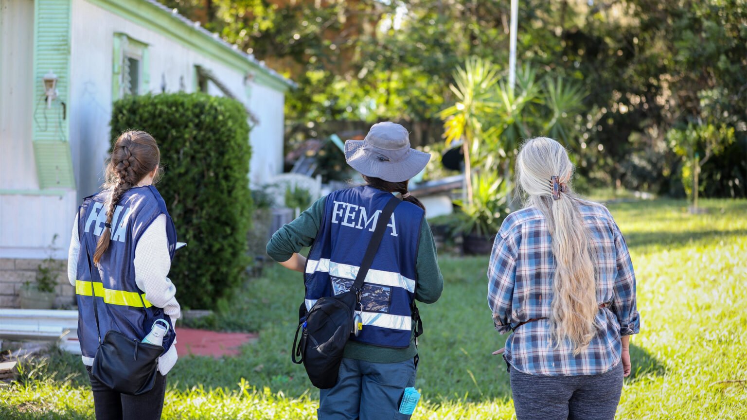
Yes, through FEMA Hazard Mitigation Assistance programs, though these are typically competitive and often require a disaster declaration to trigger significant funding cycles.
Conclusion
Central Kentucky floods represent a complex intersection of geography, climate change, and economic vulnerability. As the region moves forward, the strategy must shift from simple recovery to long-term resilience. By utilizing advanced data analytics, updating infrastructure to modern standards, and acknowledging the unique hydrological realities of the Bluegrass state, stakeholders can mitigate the most severe impacts of this escalating environmental challenge.


Comments 0
Leave a Reply
Your email address will not be published. Required fields are marked *
Be the first to share your thoughts!